¶ Linaster volume calculation
Linaster does not follow the same process as Civil 3D / Mensura to process earthworks volumes. Theses pages will try to explain how it works.
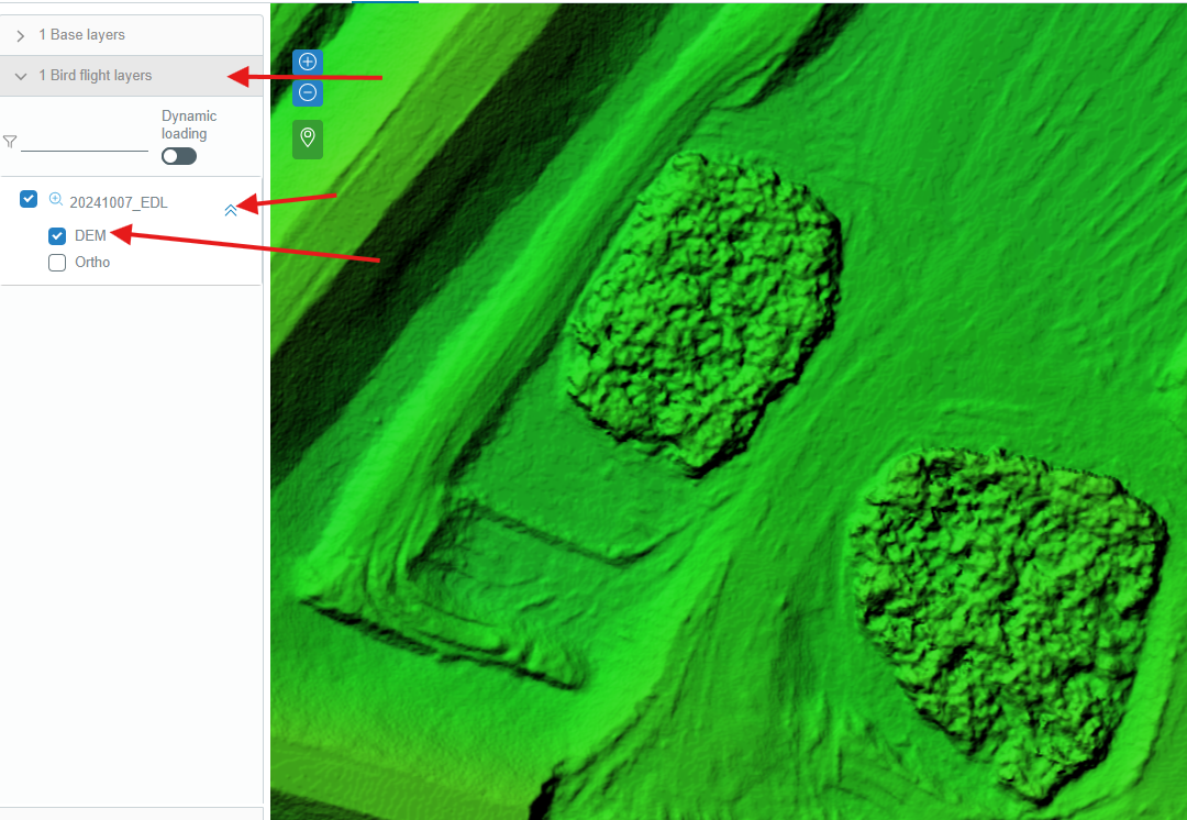
¶ Linaster surface
To generate a surface, AutoCAD Civil 3D will take a point cloud (or survey GPS) and triangulate it. It's usually more accurate because it keeps the shape of the surface. However, this requires significant computing resources, especially with drone point clouds due to the large number of points.
Linaster uses a different approach: it creates an image where each pixel (7 cm for a standard flight) is the average Z value of each point within it. This file is called a DEM (Digital Elevation Model).
By drawing a line on it, we can query each pixel along this line and generate a section with dimensions. Or by calculating the difference of each pixel on two DEM, we can calculate volumes changes.
¶ Volume Calculation Methods in Linaster
To calculate a volume in Linaster, you can use three different tools:
1- Cross sections volumes by Gulden method
2- Volume by simple platform
3- Volumes by differences of 2 platform